
Know the Tides
West Hants Regional Municipality covers 124,200 hectares of land. Within the Region, the Avon River empties into the Minas Basin where the world's highest tides rise and fall 16 meters (53 feet) along 160 kilometres of shoreline and the banks of tidal rivers.
Thirty kilometres of dykes protect 2,436 hectares of land. This highly productive, rich and diverse natural ecosystem has shaped the environment, the economy and the culture of the West Hants. The effect of the world's highest tides on our shoreline has created dramatic cliffs and the red sandstone and volcanic rock have been worn away to reveal fossils from over 300 million years ago.
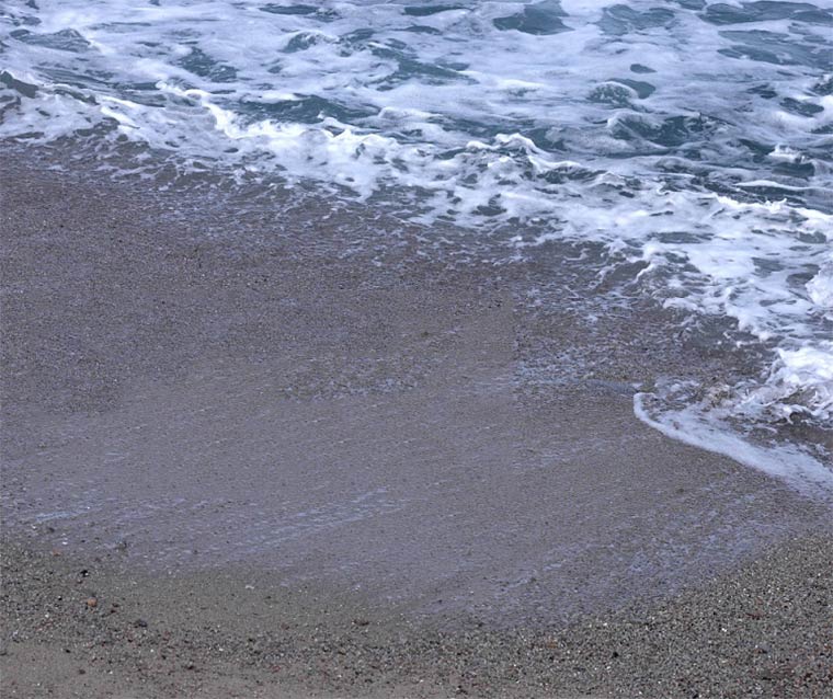
To explore this beautiful coastline, it is first critical to Know the Tides of the beach you're visiting. The tide rises and recedes every 12 hours and 25 minutes, so each day the tide times are a little different!
Find your local tide table then locate the relevant date and location for tide times.
The Rising Tide Shore video sums up just what it's like to live in such a beautiful region with so many wonders near the water. Below are our municipally owned water access points. Click on the names for directions.
- Armstrong Lake Park, Vaughan (non-motorized boating, swimming)
- Fundy Centennial Park, Hantsport tidal (beach walking/swimming access)
- Falmouth Boat Launch, Falmouth (boat launch)
- St. Croix Recreation Site, St. Croix (Fishing – stocked pond)
- Cheverie Beach, Cheverie Tidal (beach walking, clam digging)
- Kempt Quarry, Kempt Shore (swimming, non-motorized boating)
- Hobarts Beach, Summerville tidal (fishing, boat launch)
- Avondale Wharf & Waterfront, Avondale tidal
- Falls Lake Municipal Land, Vaughan (boat launch, swimming access, fishing)
